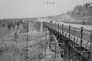
This report consists of the presentation and analysis of traffic volumes recorded in 1972 at locations on the State's trunk highways, county State Aid highways, county roads and municipal streets. Traffic volumes at these locations are recorded on a continuing basis through means of fixed-type automatic traffic recorders, and the resulting data are reported annually. The locations of these A.T.R. stations are shown on the maps on pages I and II, and a general description of each location is incorporated on pages VI through IX . The data and analyses are presented station by station in graphic and tabular form, with a single format, consisting of two tables and a graph, used throughout. Four tables are shown for those locations where traffic data is recorded by direction of travel.
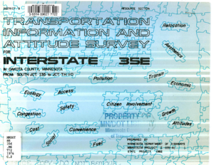
The Minnesota Highway Department conducted a transportation information and attitude survey during October, November, and December 1975. The survey was distributed to residences in northwestern Dakota County. This area includes the municipalities of Apple Valley, Burnsville, Eagan and Mendota Heights.
The primary purposes of the survey were as follows:
1. To inform area citizens of the current planning status of the proposed Interstate 35E project.
2. To obtain transportation-related information from the project area.
3. To provide a communication channel to receive citizen response to the proposed Interstate 35E project.
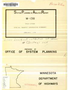
The purpose of this report is to assemble the available information on trip generation rates at the site of selected types of land uses. This report documents in summary form data for making rough estimates of traffic volumes at these selected types of land uses. In the case of the employment centers and the regional shopping centers, more detailed data is presented to assist in identifying the characteristics of these generators that affect travel behavior.
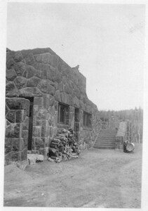
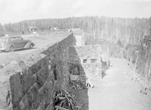
This photograph shows a worker repairing a window at Gooseberry Fall Overlook. He's accompanied by a child, and the photograph was probably taken in the 1930s.