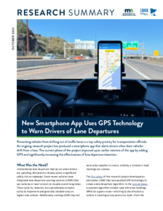


Expanded Use of AVL/GPS Technology
Image

Creator
Date Created
2022-12
Report Number
CR20-04
Description


Synthesis on Global Positioning Systems/Automatic Vehicle Location Equipment Used for Winter Maintenance
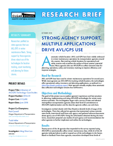
Image

Date Created
2016-07
Report Number
CR14-01
Description
Using AVL/GPS Telematics to Optimize Snowplowing
Image

Date Created
2024-01
Report Number
2024RIC01
Description
